Skip to main content
RIT Logo with Text
✕
Request Info
Visit
Apply
Give
Mobile main navigation
About
Overview of RIT
Uniquely RIT
History of RIT
University Leadership
About Rochester, NY
Visit RIT
Careers at RIT
Contact
Our Global Campuses
Rankings and Recognition
Discover RIT
Faces of RIT
Academics
Overview of Academics
Undergraduate Degrees
Graduate and Doctoral Degrees
Combined Accelerated Bachelor’s/Master’s
RIT Certified
Colleges
New Economy Majors
Immersions and Minors
Individualized Study
Undeclared Options
Areas of Study
Academic Calendar
Experiential Learning
Overview of Experiential Learning
Co-op and Internships
Entrepreneurship
Community Engagement
Global Engagement
Student Research
Career Fairs
Admissions and Aid
Admissions and Aid Overview
First-Year Admission
Transfer Admission
Graduate Admission
International Students
Deaf and Hard-of-Hearing Students
US Military / Veterans
Online Education Admission
Financial Aid and Scholarships
Tuition and Fees
Visit RIT
What’s Next for Accepted Students
Visit Us on Campus
Research
Research Overview
Signature Research Areas
Key Research Centers and Institutes
Research Awards and Recognition
Resources for Researchers
Libraries
Vice President for Research
Research Magazine
Corporate Research Partnerships
Research Magazine 2019
Research News
RIT Life
Overview of RIT Life
Student Clubs and Organizations
Diversity and Inclusion
Rochester, NY
International Students
Housing and Dining
Student Wellness
Academic Support
Performing Arts
Events
This is student life
TigerTalk Blog
Athletics
myRIT
News
Directory
Rochester Institute
of Technology
✕
Future Students
Current Students
Parents
Faculty and Staff
Alumni
Partners
Request Info
Visit
Apply
Give
Future Students
Current Students
Parents
Faculty and Staff
Alumni
Partners
Request Info
Visit
Apply
Give
RIT logo
Rochester Institute of Technology
Rochester Institute of Technology
News
Directory
myRIT
About
Overview of RIT
Uniquely RIT
History of RIT
University Leadership
About Rochester, NY
Visit RIT
Careers at RIT
Contact
Our Global Campuses
Rankings and Recognition
Discover RIT
Faces of RIT
Academics
Overview of Academics
Undergraduate Degrees
Graduate and Doctoral Degrees
Combined Accelerated Bachelor’s/Master’s
RIT Certified
Colleges
New Economy Majors
Immersions and Minors
Individualized Study
Undeclared Options
Areas of Study
Academic Calendar
Experiential Learning
Overview of Experiential Learning
Co-op and Internships
Entrepreneurship
Community Engagement
Global Engagement
Student Research
Career Fairs
Admissions and Aid
Admissions and Aid Overview
First-Year Admission
Transfer Admission
Graduate Admission
International Students
Deaf and Hard-of-Hearing Students
US Military / Veterans
Online Education Admission
Financial Aid and Scholarships
Tuition and Fees
Visit RIT
What’s Next for Accepted Students
Visit Us on Campus
Research
Research Overview
Signature Research Areas
Key Research Centers and Institutes
Research Awards and Recognition
Resources for Researchers
Libraries
Vice President for Research
Research Magazine
Corporate Research Partnerships
Research Magazine 2019
Research News
RIT Life
Overview of RIT Life
Student Clubs and Organizations
Diversity and Inclusion
Rochester, NY
International Students
Housing and Dining
Student Wellness
Academic Support
Performing Arts
Events
This is student life
TigerTalk Blog
Athletics
University Magazine
Breadcrumb
RIT
/
University Magazine
Fall 2023
AI at RIT
Download Issue
Featured Stories
The RIT Zine Scene
AI at RIT
Inside the SHED
Game Changers
Magazine Archive
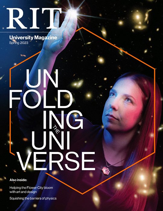
Spring 2023
Fall 2022
Spring 2022
Fall 2021
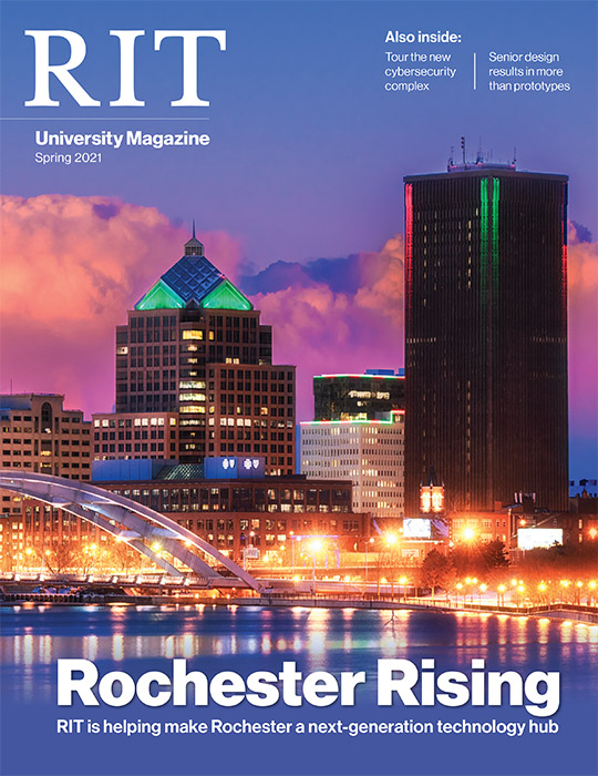
Spring 2021
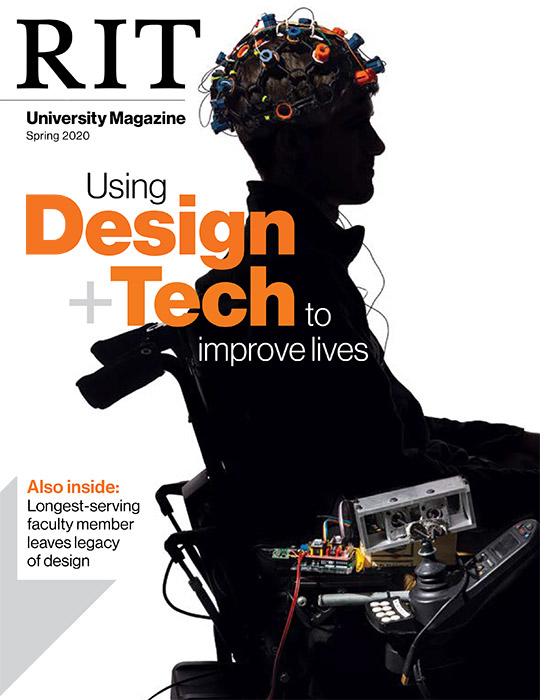
Spring 2020
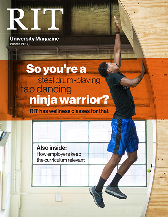
Winter 2020
Fall 2019
Spring 2019
Winter 2019
Fall 2018
Spring 2018
Reveal More
Search RIT
Close
X
This website uses cookies to provide better user experience and functionality. You can control and configure cookies in your web browser.
Cookie Statement
|
How to Disable Cookies
OK