Simulation Support for Building Damage Assessment
Principal Investigator(s)
Scott Brown
Research Team Members
Michael "Grady" Saunders
Byron Eng
Project Description
This project was focused on simulating building damage imagery for AI/ML algorithm training. The project involved a significant amount of external tool development and convenience improvements to the DIRSIGTM model. The bulk of the project was focused on a new, highly automated scene construction workflow that leverages geo-spatial datasets to build specific areas of interest designated by the contract sponsor. This workflow integrates raster assets including digital elevation model (DEM) data and site imagery with vector assets include OpenStreetMap (OSM) road and building footprints. The scene construction workflow was developed in Python and leverages key modules (e.g., GDAL, ESRI shape file support, etc.) to download, manipulate and integrate multiple geo-spatial datasets. The OSM data was used to create polygon road assets and to extrude simple building structures from footprint data that included building high attributes. This workflow was able to rapidly produce site specific models measuring several square km with minimal user direction.
The next major component was to modify the baseline scenes to include destroyed structures cause by weather events, human conflict, etc. To accomplish this, an open-source rigid body physics and collision detection model was employed that would carve out portions of the buildings and scatter the debris. Based on configuration options, the workflow could impart damage ranging from minimal (small holes in the roof and walls) to major (destruction of the building). The workflow could be run multiple times to create multiple realizations of the damaged area of interest to produce more diversity in the image data.
The final component of the project was the image data simulation workflow. Specifically, the contract customer wanted simulated WorldView-3 (WV3) imagery including Pan and MS1 (blue, green, red and NIR channels) at the appropriate resolutions. Furthermore, the datasets needed to be provided at Level-1B in the ground product pipeline, which means band to band registration has been performed and meta-data is present to support downstream operations including orthoprojection, pan sharpening and atmospheric compensation. To facilitate these requirements, the ChipMaker plugin was improved to support a multi-pass mode to model the Pan and MS1 channels at different resolutions and to produce additional run-time, metadata that would be ingested by a DIRSIGTM-specific post-processing chain to generate the standard MAXAR Level-1B auxiliary files. These DIRSIG post-processing operations included the generation of corner ground control points (GCPs) and rational polynomial coefficients (RPCs) to support the downstream orthoprojection and pan sharpening operations. The ChipMaker plugin was configured to generate the truth data required to generate there required orthoprojection metadata and image masks delineating damaged and undamaged buildings in each training chip. The generation of the raster (image masks) and vector (image coordinate polygons) labeling data required a multi-pass simulation approach where some labeling data was created from the initial or pre-event (undamaged) scenes and others from the post-event (damaged) scenes. At the end of the project, the workflow was captured as a containerized application with a high-level interface that allowed the customer to generate data without any direct interaction with DIRSIGTM or the tools employed in the scene construction (and destruction) process.
Figures and Images
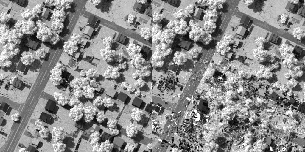
WorldView-3 (WV3) pre- and post-damage panchromatic simulation
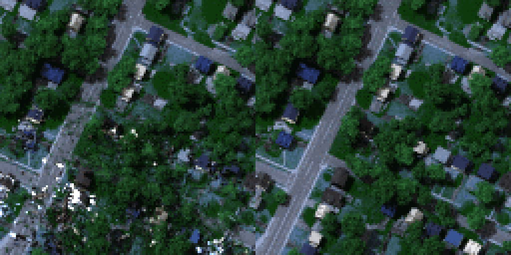
WorldView-3 (WV3) pre- and post-damage MS1 simulation
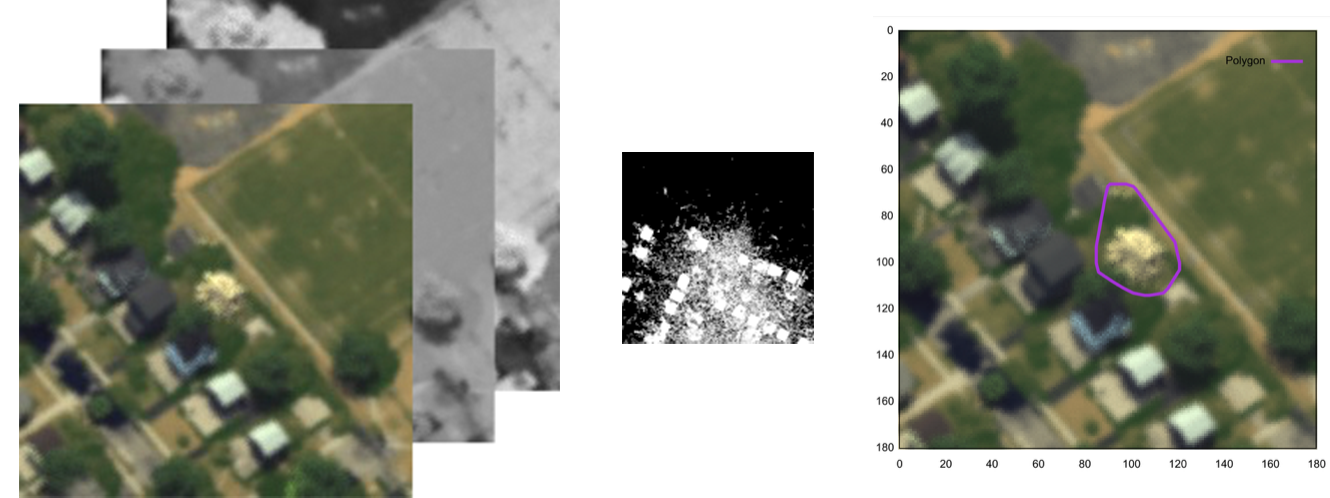
Upgraded ChipMaker simulation stack (left), pixel-level truth map for damage (middle), and object-level damage assessment idenitification (right).