Home Page


Digital Imaging and Remote Sensing Laboratory (DIRS)
What We Do
The Digital Imaging and Remote Sensing (DIRS) Laboratory serves as a focal point for remote sensing research and education at RIT.
The DIRS Laboratory focuses on the development of tools to extract information about the Earth from aerial and satellite imaging systems with an emphasis on the application of science and engineering to solving end-to-end remote sensing problems using a systems engineering approach. This includes design and development of imaging instruments, developing algorithms to extract information from remotely sensed systems and measurement, and modeling of the physical phenomena associated with the formation of remotely sensed images.
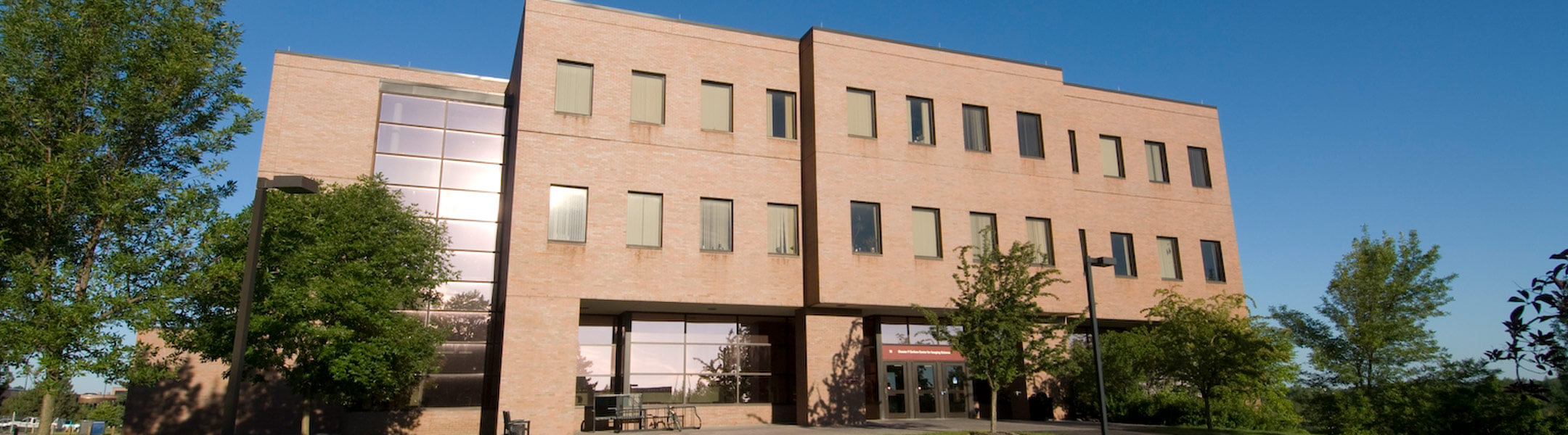
The DIRS Laboratory, formed more than 30 years ago, is housed within the Chester F. Carlson Center for Imaging Science, an academic unit within RIT’s College of Science, and has about 40 graduate students conducting research who are supported by nine faculty and 22 full-time research and administrative staff.
DIRS also has on-going research partnerships with multiple federal agencies, large and small companies, and other academic institutions.
News
-
April 6, 2023
![Photo of alumnus, male, left, and female, right and award statuette]()
Gift from alumnus Steve Wear will support RIT’s imaging science students and drone lab
A gift from an RIT distinguished alumnus, Steve Wear '91 (imaging science), will help RIT students and researchers reach new heights on the frontier of imaging science.
-
October 11, 2022
![Green and purple-colored image of Colombia’s Galeras Volcano.]()
RIT researcher receives Department of Energy grant to develop synthetic aperture radar technology
James Albano, a researcher/engineer at RIT’s Chester F. Carlson Center for Imaging Science, has launched a project funded by the Department of Energy to develop remote sensing technology that could have applications ranging from assessing earthquake damage to determining soil moisture for predicting crop yield.
-
February 23, 2022
![side-by-side images of a mountain range, the left showing the landscape and the right showing a temperature map.]()
RIT’s remote sensing experts help scientists keep an eye on the Earth
Scientists from RIT’s Chester F. Carlson Center for Imaging Science recently helped successfully bring the new Landsat 9 satellite online and are partnering with a startup on a bold new initiative to help scientists in government and the private sector monitor changes in the Earth’s surface temperature.
-
January 31, 2022
![student research in waders in a lake with a pole and a measuring device.]()
Tait Preserve becoming hotbed for interdisciplinary research
RIT has an emerging new hotspot for interdisciplinary research about 25 minutes from the main campus. The Tait Preserve includes a 60-acre lake and a private mile of Irondequoit Creek adjacent to Ellison Park, offering endless opportunities for research, education, and conservation activities.