Ltome-Katip: Indigenous-Led Labelling for Inclusive AI in Addressing Human-Wildlife Conflict and Climate Change
Principal Investigator(s)
Research Team Members
Diana Mastracci
Titus Letaapo
Mario Vargas
Project Description
The Ltome-Katip Project is an Indigenous-led initiative aimed at producing labeled data in support of machine learning applications for remote sensing analysis. The project is being implemented simultaneously in two geographically and culturally distinct regions to address issues of human-wildlife conflict. These are the Namunyak Conservancy in Samburu, Kenya, and the Shuar Territory in the Ecuadorian Amazon, Ecuador. In Kenya the main target is elephants (Ltome) and in Ecuador the main target is rats (Katip).
The project employs acoustic sensors, camera traps, and weather stations to collect bio-acoustic data, images, and environmental parameters. By incorporating Indigenous knowledge from the Samburu (and Shuar) communities, the Ltome-Katip Project uniquely labels animal sounds, creating culturally grounded datasets.
The project has collected more than 1.3 million one minute audio files in Kenya and Ecuador along with hundreds of camera trap images and weather data. The analysis of these acoustic data is ongoing and is performed using the Arbimon (arbimon.org) cloud platform for the data labeling. The labels generated from the acoustic data are collated with the weather and camera trap data to facilitate machine learning applications.
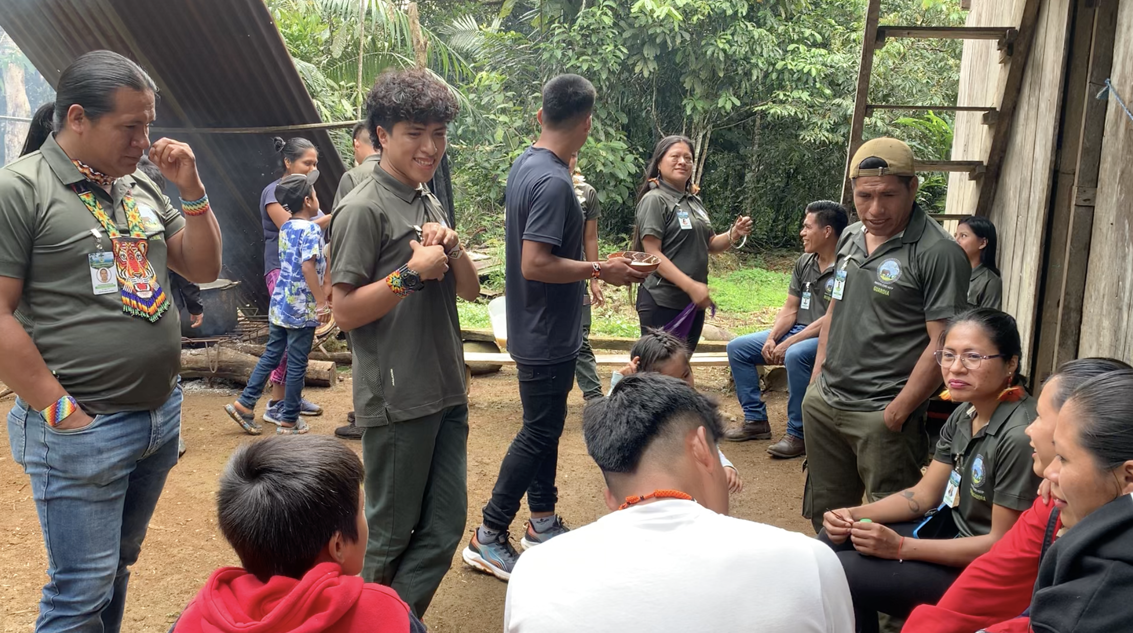
Figure 1: Researchers and community members from a Shuar community of the Amazon in eastern Ecuador.
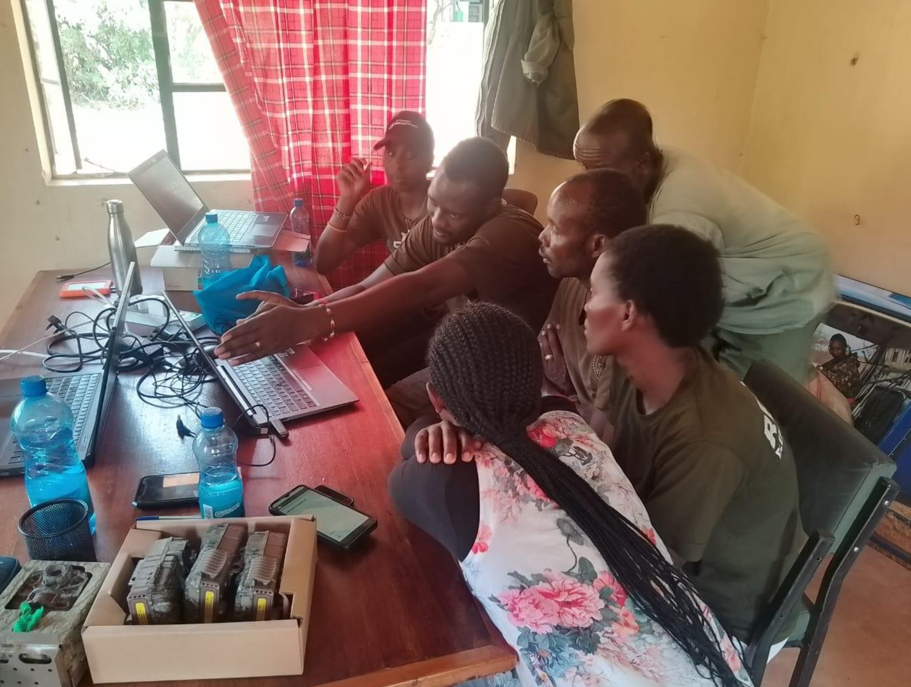
Figure 2: Researchers from the Samburu community at Reteti Elephant Sanctuary in northern Kenya attending a training session on camera traps.