Learn about LiDAR - capturing the 3D world
Come learn about LiDAR, now available in the iPhone 12 and iPhone 13. What can you use it for and how does it work? Attendees will experiment with two types of LiDAR systems, the terrestrial laser scanner (TLS) which can capture a scene in 30 seconds, and LiDAR in iPads, which takes about 5 minutes and is less precise. LiDAR is used in remote sensing and environmental science to capture forests, man-made structures, shorelines, and many other applications. In this demo, we will show fully created 3D scenes from the TLS, and also allow attendees to create 3D representations using the iPads.
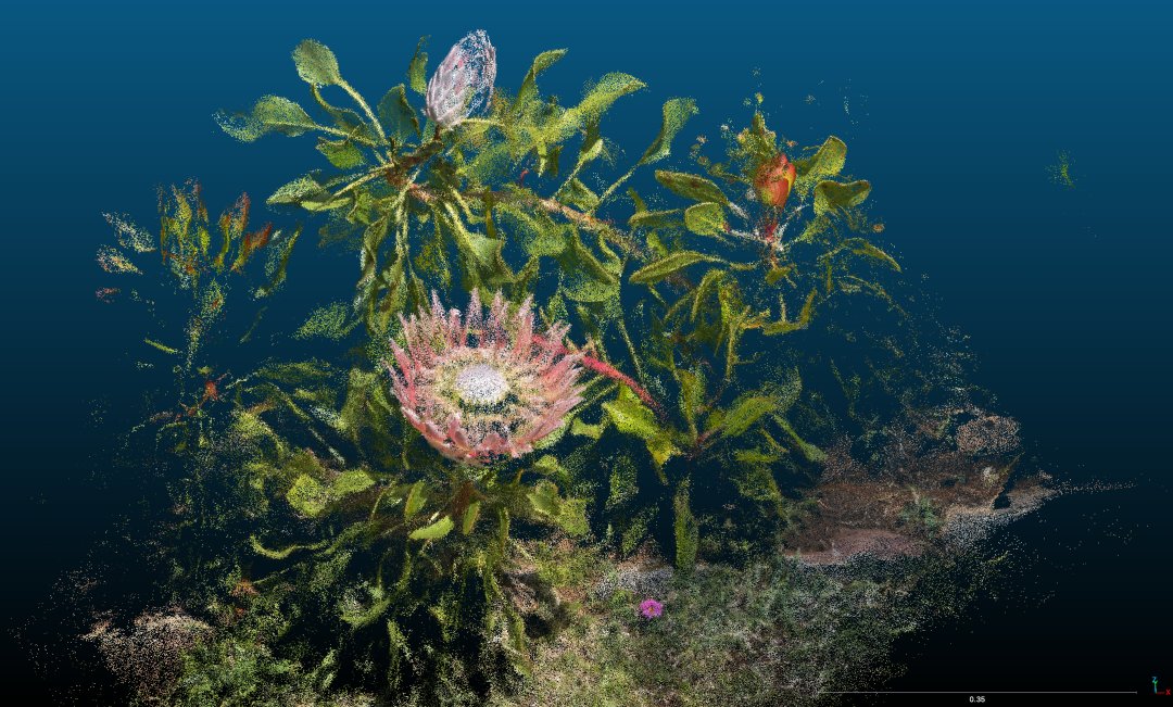
A LiDAR scan of a Protea
Topics
Exhibitor
Jan van Aardt
Brett Matzke
Rob Chancia
ts5265
Manisha Das Chaity
Ramesh Bhatta
Mohammad Saif
Yuval Levental
Kedar Patki
Nate Burglewski
Advisor(s)
No
Organization
The LiDAR system is used to capture 3D structure of forests and topography, both locally and as far away as the Micronesian islands.
Thank you to all of our sponsors!