Remote Sensing
January 25, 2019
Carl Salvaggio
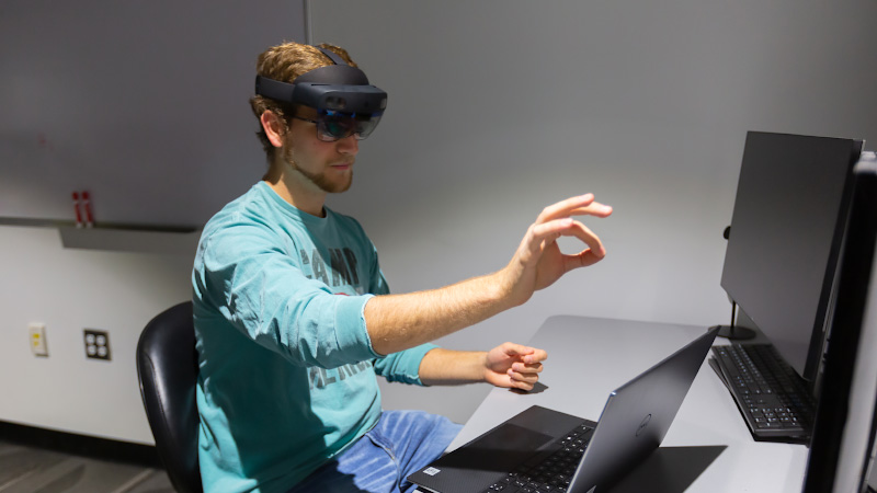
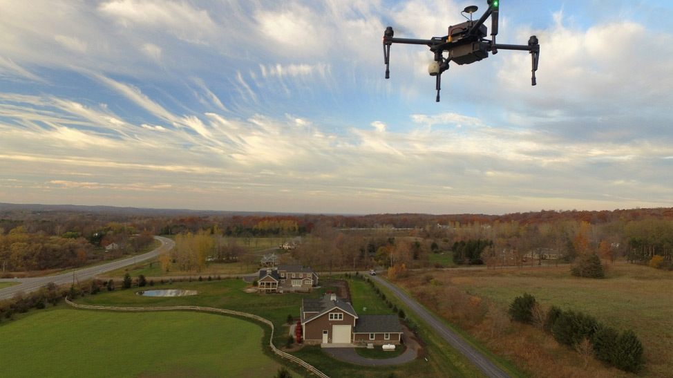
Professor Carl Salvaggio has been leading many of the UAS (Unmanned Aerial Systems) activities, including the development of flight planning software to acquire imagery from drones using unique flight plans designed to acquire imagery for the purpose of 3D point cloud extraction. Another recently initiated project led by Salvaggio is an investigation of remote sensing methods to detect areas of stressed vegetation near natural gas pipelines as a potential indicator of a leak in the pipeline. (Image of the Matrice-100 flying near Honeoye Falls, N.Y., provided by Martin LaChance.)
More Featured Profiles and Work

David Messinger