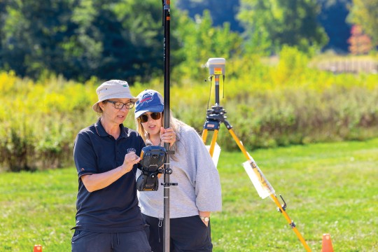
RIT receives NASA support for community-driven remote sensing experiments
ROCX 2025
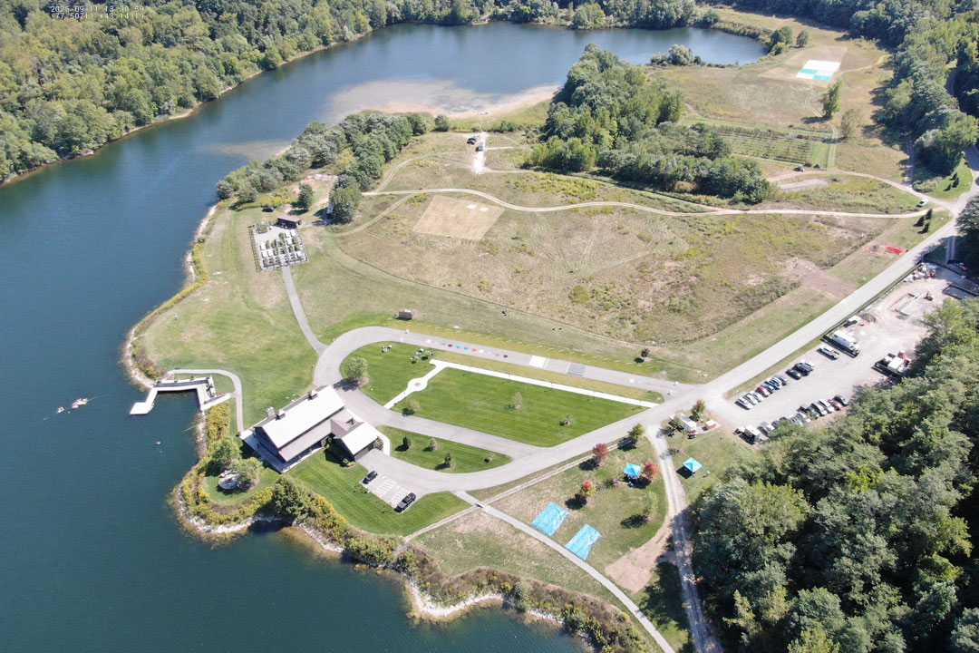
This aerial photo of RIT’s Tait Preserve was taken during ROCX 2025. Credit: ROCX 2025
NASA has awarded Rochester Institute of Technology’s Digital Imaging and Remote Sensing Laboratory (DIRS) a three-year grant to lead a remote sensing field campaign and share the resulting data with researchers, educators, and the public.
The award, which comes from NASA's Commercial Satellite Data Acquisition (CSDA) Program, follows the success of ROCX 2025, a community-driven field campaign that drew 75 participants from 24 organizations across six countries to RIT's Tait Preserve. During the event, researchers collected data for 19 ground experiments using 14 ground instruments, eight UAV platforms, two aircraft, and seven satellite platforms.
As remote sensing technologies continue to evolve, the need for high-quality, well ground-truthed datasets remain critical. These data collections support sensor calibration and validation, algorithm development, and the advancement of future Earth observation capabilities.
ROCX 2025
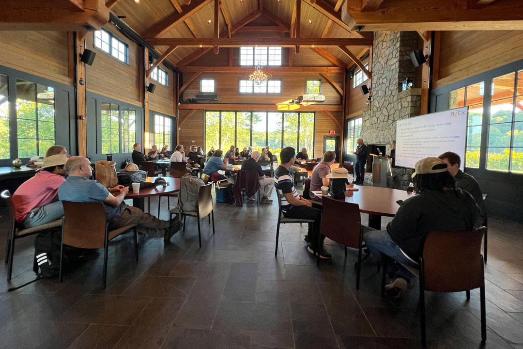
Researchers from around the world gather inside the lodge at RIT’s Tait Preserve for a morning briefing during ROCX 2025
The new NASA-funded effort, led by researcher Nina Raqueno and Gerald W. Harris Endowed Professor Emmett Ientilucci will build on the momentum of ROCX 2025 by expanding community participation, data collection, and open data access. Researchers will gather at the ROCX Workshop on Oct. 23 to present results from ROCX 2025 and begin planning for the next field campaign, ROCX 2027.
The DIRS Lab, housed in the Chester F. Carlson Center for Imaging Science, focuses on the development of tools to extract information about the Earth from aerial and satellite imaging systems with an emphasis on the application of science and engineering to solve end-to-end remote sensing problems. DIRS has on-going research partnerships with multiple federal agencies, large and small companies, and other academic institutions.
The Chester F. Carlson Center for Imaging Science offered the first imaging science program in the U.S. and is currently the only formal imaging science program in the nation. Imaging science is an interdisciplinary field combining computer science, engineering, and physics to explore image creation, perception, and analysis.
The NASA award was made possible through the support of the staff at RIT's Tait Preserve and RIT Research Computing's GLOBUS infrastructure, which enables long-term management and public distribution of ROCX datasets.