Digital Imaging and Remote Sensing Laboratory
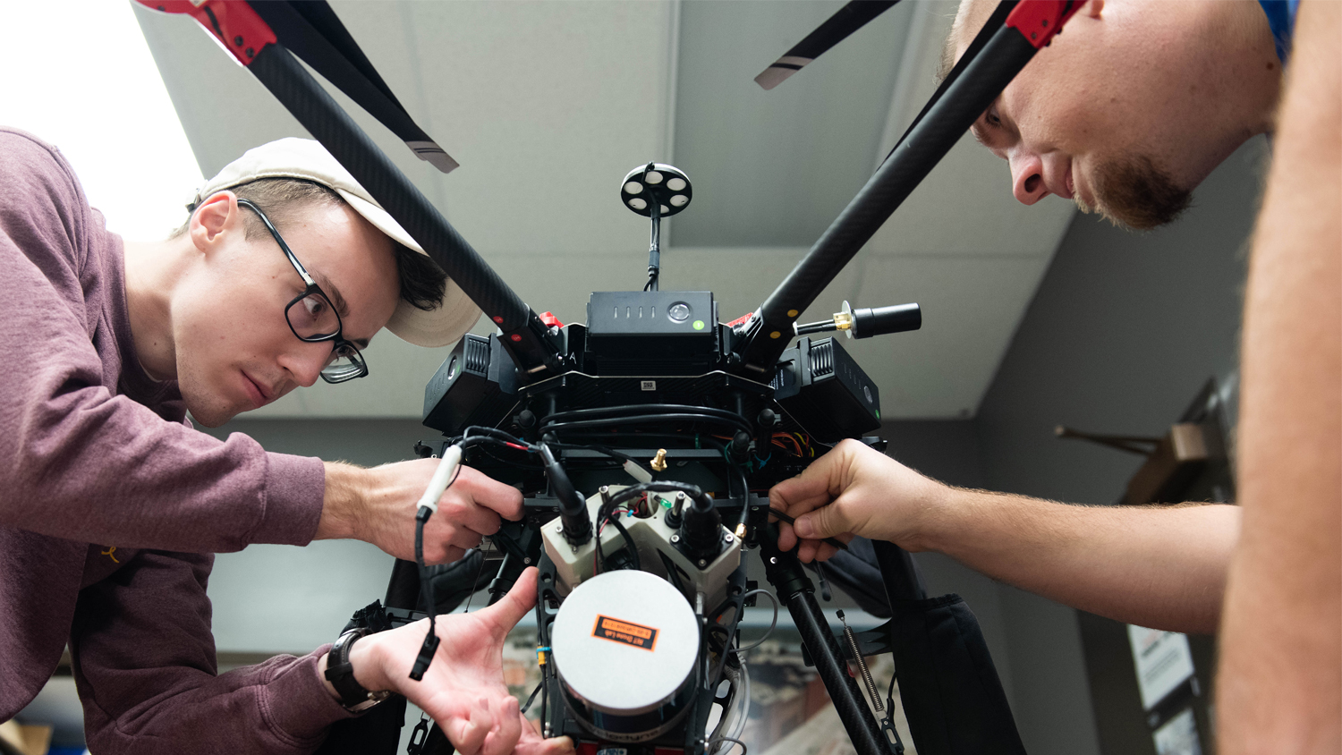
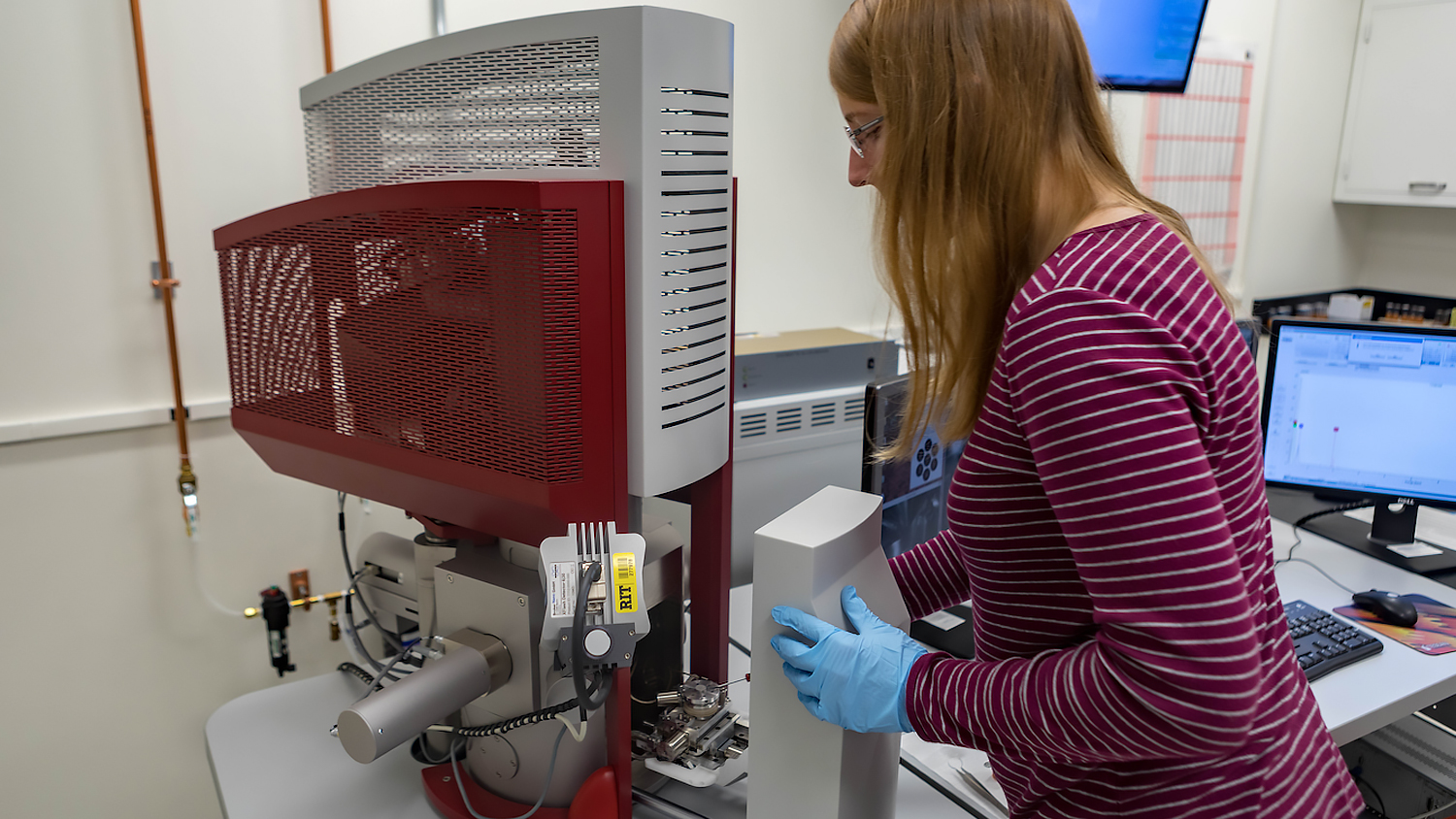
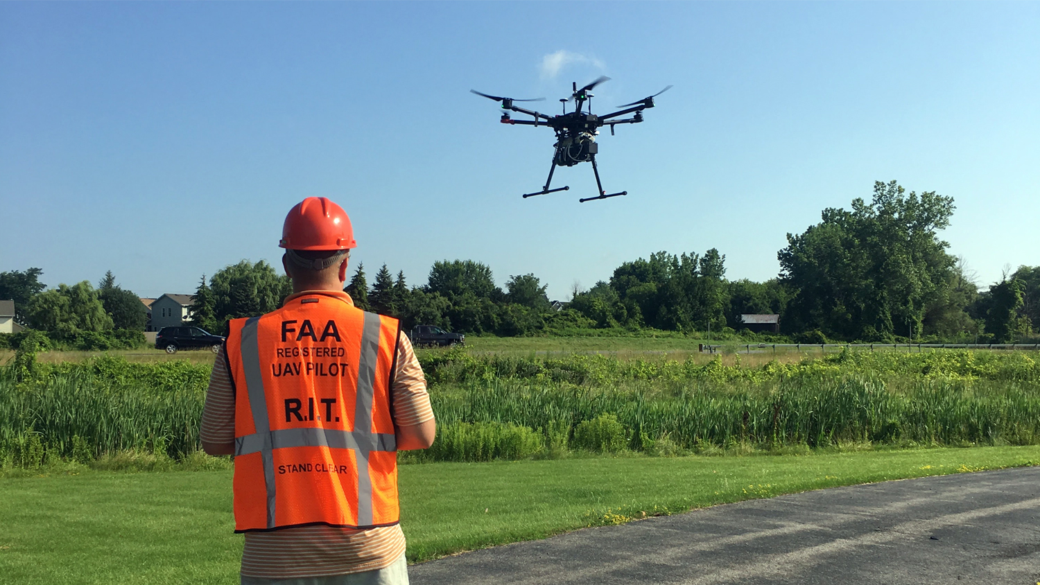
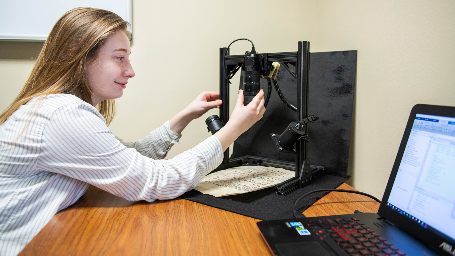
The Digital Imaging and Remote Sensing Laboratory focuses on the development of tools to extract information about the earth from satellite, manned and unmanned (drone) aircraft imaging systems. Our students and staff researchers work hand-in-hand to utilize their expertise in physics, mathematics, computer science, and engineering to solve end-to-end applied remote sensing problems in agriculture, natural resource management, and matters of National intelligence and defense.
Location
Carlson Building