NGA funds RIT researchers to explore the limits of spectral remote sensing imaging systems
Principal investigator Professor John Kerekes receives up to $1 million for fundamental research
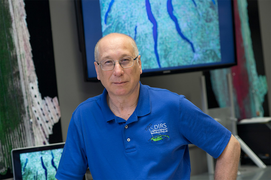
A. Sue Weisler
John Kerekes, a professor in the Chester F. Carlson Center for Imaging Science, is the principal investigator of a grant of up to $1 million to conduct fundamental research on spectral remote-sensing imaging systems over the next two to five years.
The National Geospatial-Intelligence Agency is funding a team of Rochester Institute of Technology imaging scientists to study the limits of spectral remote sensing imaging systems. Led by principal investigator John Kerekes, a professor in the Chester F. Carlson Center for Imaging Science, the team received a grant of up to $1 million to conduct fundamental research on imaging systems over the next two to five years.
Spectral remote sensing imaging systems use instruments capable of detecting bands of light far beyond what the human eye can see mounted on aircraft or satellites to study the Earth below. These systems have been around since the 1960s and have a variety of uses, including helping farmers assess crop productivity, aiding environmentalists to map deforestation, identifying military targets, and more. The researchers hope to develop a tool that can quantitatively predict how well a spectral remote system can accomplish a given task.
“RIT’s imaging science program is uniquely qualified to do this because we teach everything from the source of energy to how it propagates through a system,” said Kerekes. “We study how a signal is collected by a sensor, how it’s analyzed, and even how it’s visualized by a human. I think the NGA recognized that we were in a distinctive position to study this very difficult and challenging problem.”
Kerekes believes the tool they are developing for this project will provide a complement to the RIT-developed Digital Imaging and Remote Sensing Image Generation (DIRSIG) model. DIRSIG is a popular physics-driven synthetic image simulation capability for government agencies and contractors to conduct system engineering research. He said the new tool will provide a compatible analytical model to help NASA, the defense and intelligence communities, and other users design new systems to better understand under what conditions a given data collection system can accomplish a specific task. The haziness of the atmosphere and the angle of the sun are just a few examples of factors he expects the new tool can account for.
Researcher/Engineer Scott Brown and Assistant Professor Emmett Ientilucci are the project’s co-PIs and the funding will support a Ph.D. student as well. For more information about RIT’s remote sensing research, go to the Digital Imaging and Remote Sensing Laboratory website.

