RIT student creates club to connect students with growing geospatial field
Provided
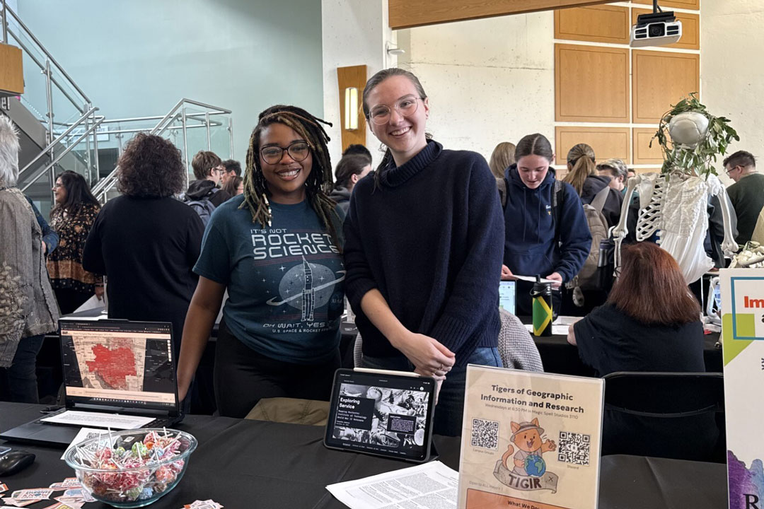
RIT students Destiny Patton, left, and Priscilla Anderson, right, spread the word about the Tigers of Geographic Information and Research (TIGIR) during a GIS immersion/minor fair. This new club looks to introduce students to the wide array of applications in the geospatial world.
Destiny Patton wants to put Rochester Institute of Technology on the map.
The fourth-year human-centered computing major and geographic information systems minor from Birmingham, Ala., launched Tigers of Geographic Information and Research (TIGIR) to connect students across disciplines with opportunities in the geospatial field.
TIGIR is one of more than 300 student clubs and organizations at RIT, where students can build community, develop leadership skills, and pursue their passions outside of the classroom. Students who don’t find their interest represented are highly encouraged to start their own club through RIT’s Center for Campus Life.
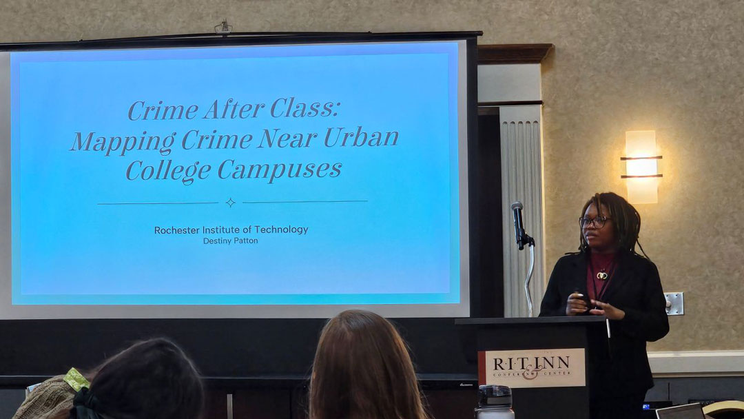
In Patton’s second year at RIT, she took an Introduction to Geographic Information Systems course, taught by adjunct instructor Catherine DuBreck. Inspired by the class, Patton presented in a regional conference held at the RIT Inn and wanted to find other students who held a similar interest.
“The way she talked about her career, her job, I really liked it and I wanted to do more of it,” said Patton about DuBreck. “I was thinking of other ways to learn from her, not exactly follow her footsteps but create my own way.”
DuBreck, who has taught the course since 2022, spends one class each semester on humanitarian mapping, with students contributing to mapping projects around the world. In that class, she has long told students that RIT doesn’t have a GIS club, but that one of them could start it.
“I am so proud of Destiny and admire her initiative to be the one to start the club,” DuBreck said. “The most rewarding part of being an educator is inspiring even just one student.”
The club, which officially launched last April, has more than 40 members. They are intentional in including students from a variety of majors, including vice president Leiani Butler, an imaging science major and astronomy minor; treasurer Edward Boakye, an environmental science student; secretary Parker Seaton, who’s studying urban planning through the School of Individualized Study; and geospatial archivist Priscilla Anderson, a museum studies student.
Provided
Fueled by an RIT class, Destiny Patton presented her research during Genesee–Finger Lakes Region GIS/SIG conference held at the RIT Inn this past April.
“The club is a fantastic development showing broad student interest in geospatial technology across the entire university,” said club advisor Brian Tomaszewski, a professor in RIT’s School of Interactive Games and Media and director of the Center for Geographic Information Science and Technology.
The club is more than a geography club, although its members do love maps. Geographic information systems (GIS) technology is used to analyze and visualize location-based data, with applications varying from urban planning and environmental management to crime analysis. It’s a growing field; the global space and geospatial market was worth about $677 billion in 2025, according to industry publisher Geospatial World, and the U.S. Bureau of Labor Statistics projects 6 percent job growth for surveying and mapping technicians, including GIS technicians, from 2025 to 2035, about twice the average for all occupations.
“I just want students like me to be a part of that growth early,” Patton said.
Geospatial work increasingly overlaps with computing, data science, and artificial intelligence, and Tomaszewski notes that RIT has been building its GIS curriculum to meet the future. Along with a minor, RIT offers a GIS immersion through the Golisano College of Computing and Information Sciences. The immersion has more than 85 students as of August.
The club meets weekly in MAGIC Spell Studios and aims to show students how wide the geospatial field is. According to Patton, one misconception she notices is her classmates feeling like the field is limited to computer science and programming. The group’s work suggests otherwise; over the past year, she’s mapped crime data as a part-time analyst at RIT’s Center for Public Safety Initiatives and interned with environmental consulting firm Langan, collecting field data in West Virginia. Anderson recently completed a co-op at the Library of Congress as a Junior Fellow, where she built an online tool for exploring its collection of Austro-Hungarian maps.
In the future, members hope to attend trade conferences, host events to bring industry leaders to campus to talk to students, and introduce recruiters to the diversity of talent at RIT.